5 Days Northern Parks Extension – Tanzania


The 5 Days Northern Parks Extension is an unforgettable safari through Tanzania’s world-famous northern safari circuit, offering an exceptional opportunity to experience some of Africa’s most iconic national parks and abundant wildlife. This carefully designed itinerary is ideal for travelers wishing to extend their East African adventure with thrilling game drives, breathtaking landscapes, and close encounters with the continent’s legendary wildlife. The safari combines the endless plains of Serengeti National Park, the wildlife-rich Ngorongoro Conservation Area, the elephant paradise of Tarangire National Park, and the scenic beauty of Lake Manyara National Park, creating a memorable journey through some of Africa’s most celebrated wilderness areas.
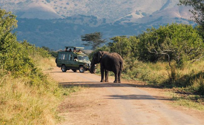
Your adventure begins with a drive from Arusha into Tarangire National Park, famous for its giant baobab trees and one of the largest elephant populations in East Africa. During exciting game drives, visitors have excellent chances of spotting elephants, lions, leopards, cheetahs, giraffes, zebras, wildebeests, buffaloes, impalas, and numerous antelope species. The park is also a paradise for birdwatchers, with more than 550 recorded bird species inhabiting its rivers, wetlands, and savannahs.
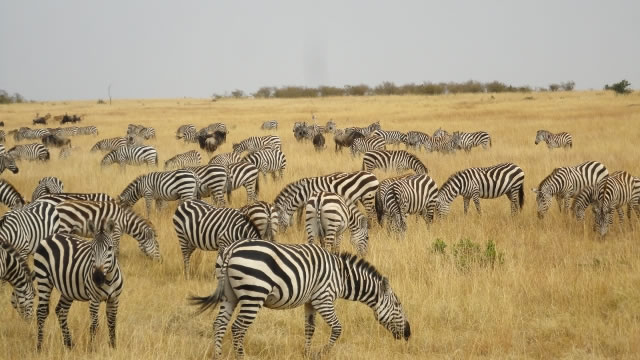
The journey continues into the legendary Serengeti National Park, renowned for its vast open plains and spectacular wildlife. Depending on the season, visitors may witness the breathtaking Great Wildebeest Migration, where millions of wildebeests, zebras, and gazelles travel across the plains in search of fresh grazing. Throughout the year, the Serengeti provides outstanding opportunities to observe Africa’s famous Big Five—lion, leopard, elephant, buffalo, and rhinoceros—as well as cheetahs, hyenas, jackals, hippos, crocodiles, and countless other species. Early morning and afternoon game drives offer exceptional wildlife viewing and incredible photographic opportunities.
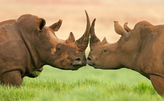
A highlight of the safari is descending into the magnificent Ngorongoro Crater, the world’s largest intact volcanic caldera and one of Africa’s richest wildlife habitats. The crater floor supports an extraordinary concentration of animals, including endangered black rhinos, elephants, lions, buffaloes, hippos, hyenas, zebras, and thousands of flamingos that gather on the seasonal soda lake. The stunning scenery and dense wildlife population make every game drive inside the crater a truly unforgettable experience.
The safari concludes with a visit to Lake Manyara National Park, a picturesque destination known for its lush groundwater forests, acacia woodlands, alkaline lake, and diverse wildlife. The park is famous for its tree-climbing lions, large troops of baboons, elephants, giraffes, hippos, and vibrant birdlife, including pelicans, flamingos, storks, kingfishers, and herons. Its varied habitats create an ideal environment for both wildlife viewing and birdwatching.
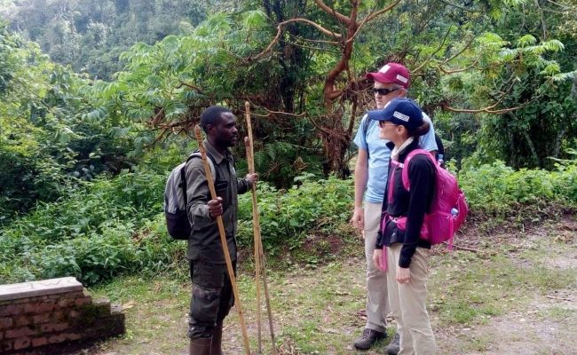
Throughout the journey, guests stay in carefully selected safari lodges or luxury tented camps that provide comfortable accommodations, delicious cuisine, and stunning views of Tanzania’s spectacular landscapes. Professional safari guides ensure an enriching experience by sharing their extensive knowledge of the region’s wildlife, ecosystems, and conservation efforts.
The 5 Days Northern Parks Extension – Tanzania is the perfect safari for wildlife enthusiasts, photographers, honeymooners, families, and first-time visitors to Africa. Combining thrilling game drives, remarkable landscapes, abundant wildlife, and comfortable accommodations, this safari delivers an authentic and unforgettable East African safari experience that showcases the very best of Tanzania’s renowned northern safari circuit.
 Email us bookings@twijaafrica.com
 Call us +256 777 559835